Hotline: 16297 (9 AM to 8 PM)


 Hello, Sign in
 Cart
Cart 
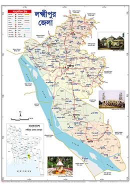



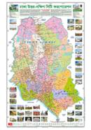

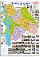

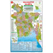
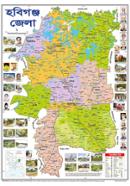


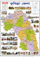
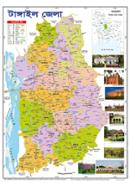
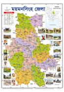
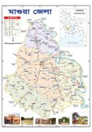
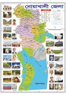
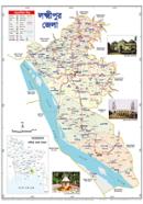
The Sariyagraph Lakshmipur District Map shows administrative boundaries across a 18.5x25 inch layout. Bangla text identifies upazilas like Ramganj and Kamalnagar within the Chittagong Division. This 47x63 cm Upazila Map provides students and researchers with local geographic data.
Key Features
- High-Contrast Ink: Vivid readable print displays small geographical details clearly. Text remains legible during study.
- High-Density Paper: Lightweight construction prevents easy tearing of the paper. Resists damage from road dust.
- Native Bangla Text: Bengali characters label the map surface area throughout. Researchers identify Sadar regions easily.
- Foldable Layout: The 18.5 x 25 inch dimensions fold into compact sizes. Fits wall mounting or field bags.
- Hydrographic Detail: Meghna River and water bodies have distinct labels. Users track coastal changes precisely.
Frequently Asked Questions
What is the size of Lakshmipur district map?
The dimensions are 18.5 x 25 inches, equivalent to 47x63 cm. This surface area permits distinct labeling of all administrative borders.
Is the map printed in Bangla or English?
The entire map uses Bangla for all labels. This includes upazilas, rivers, and neighboring district boundaries.