Hotline: 16297 (9.00 AM to 11.00 PM)




 12 user want this item!




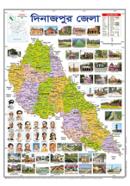
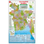
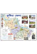
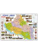
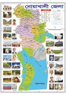
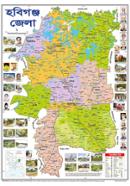

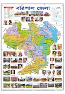
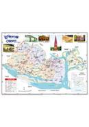
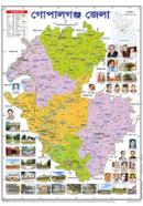
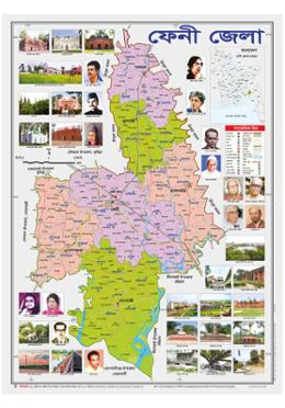
Across an 18.5x25 inch surface, the Sariyagraph Feni District Map displays administrative borders and geographic markers. Bangla labels every upazila and major landmark for technical reference. This political map identifies vital infrastructure like roads and the Muhuri River.
Key Features
- Upazila Boundaries: Clearly demarcated borders for Chhagalnaiya, Daganbhuiyan, and Feni Sadar. Administrative tracking becomes faster during field research.
- 18.5x25 Inch Format: Fixed wall-mounting dimensions for high-visibility display in offices. Large fonts stay legible even from a distance.
- Roads and Rivers: High-contrast printing of the Muhuri River and road networks. Road dust won't obscure the sharp lines on this surface.
- Bangla : Native language labels for Parshuram, Phulgazi, and Sonagazi. Local students find location data instantly without translation delays.
Frequently Asked Questions
How many upazilas are in Feni district?
Feni district contains six distinct upazilas. This Sariyagraph map labels each one with accurate political boundaries.
What is the area of Feni district?
The district covers approximately 928 square kilometers. This 18.5x25 inch map scales those dimensions for detailed wall study.